- Published:
- Friday 6 June 2025 at 12:39 pm
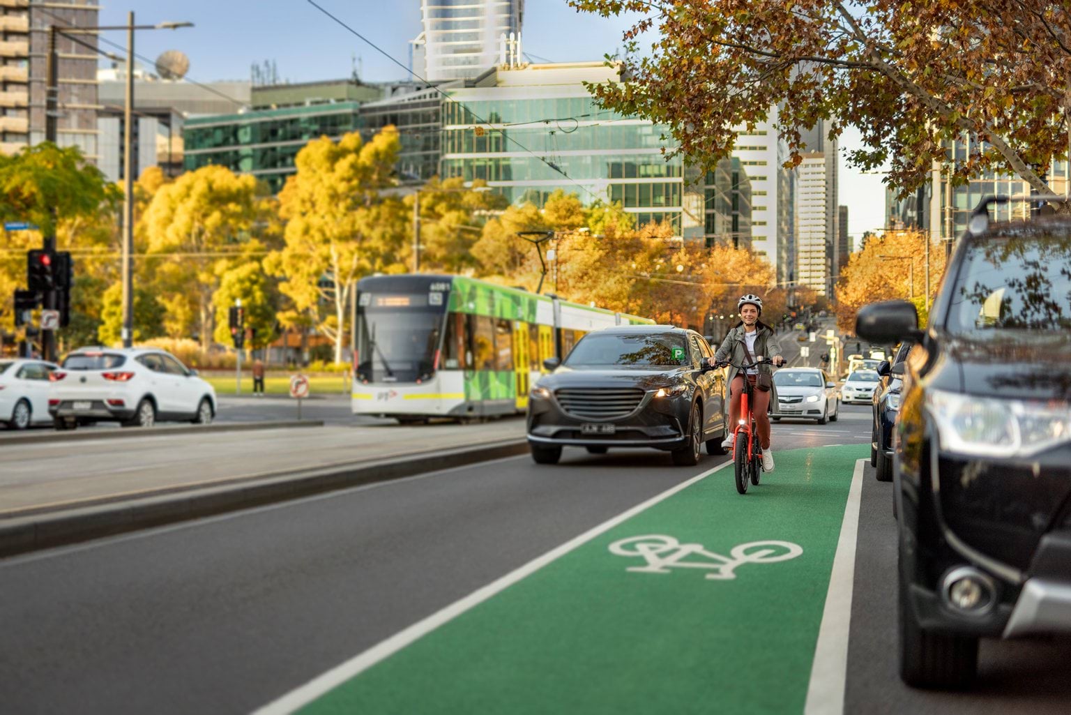
Bicycle Infrastructure Network is the latest open dataset released by Transport Victoria.
The Department of Transport and Planning (DTP) has released this dataset to provide a comprehensive and complete view of the bicycle network across Victoria.
This data contains an extensive network of bicycle lanes and paths across Metropolitan Melbourne, Geelong, Bendigo and Ballarat. It includes:
- a simple typology of cycling infrastructure, from painted lanes to shared paths
- approximate width of the cycling lane, primarily captured for on-road sections
- adjacent features, including car parking and tram lines
- unique OpenStreetMap (OSM) way ID to support linking this to other data.
This dataset was extracted and adapted from OSM. DTP has enhanced this data to increase the coverage and detail of cycling infrastructure in these regions. As a result, this dataset has been released using the Open Database License (ODbL).
While every measure has been taken to ensure accuracy of this dataset, errors may remain.
Note that bus lanes that allow cycling have not been included in this dataset.
DTP is committed to continuously improving existing datasets and releasing new information to support the Victorian Government's Open Data policy and objectives.
Updated